Highway 1148 is in Nan province, you can find it north out of Nan after taking the 101. The 1148 branches north west. The video runs for 33KM from Song Khwae climbing up and over a couple of hills/mountains (not sure exactly which term is right, mountain seems a big grandiose for what they are).
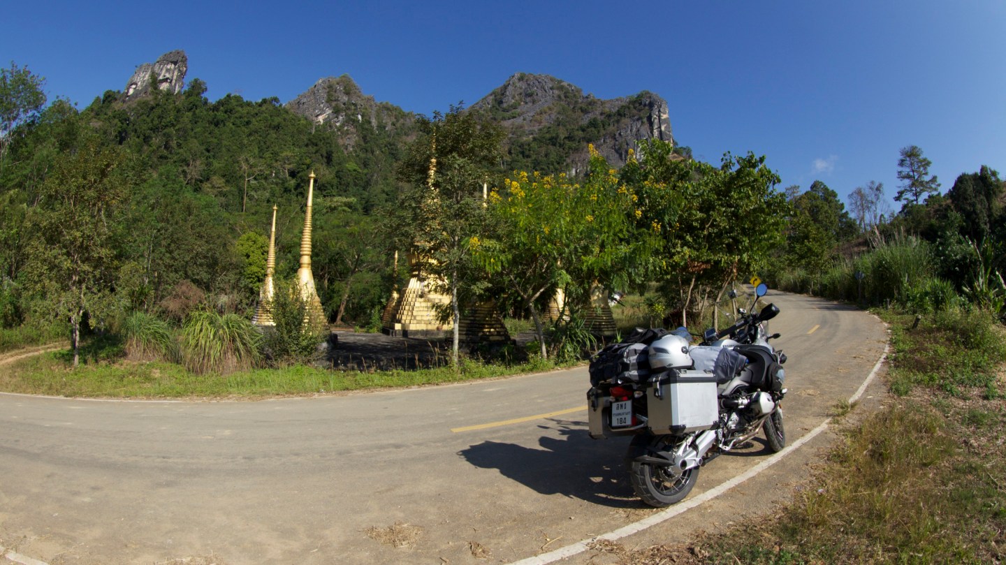
At the end of the video you can see off to the right a lake by a small mountain on the horizon. It is well worth taking a right off the 1148 (just past the end of the video) and seeking out the beautiful Buddhist monument under the shadow of the mountain. It is just a couple of minutes away and provides some fantastic photo opportunities and a place to take a break.


Map of the route


Currently the road condition is great and if you enjoy a bit of knee down action this is a great section of road to do that (safely of course).
Ride carefully and always within your ability. The video shows speed (it is not completely accurate and has some inconsistencies), elevation graph, longitude and latitude, time and date, distance along the route and a squiggly line representing the road with a dot showing the current location. This video was shot in December 2014 and roads in Thailand do change over the years, a once pristine section of tarmac can degrade and likewise a bad section can be resurfaced and become as smooth as silk! Leave a comment if you have an up to date report.
You can find excellent bike reports and information of northland Thailand over at Golden Triangle Riders

1 comment