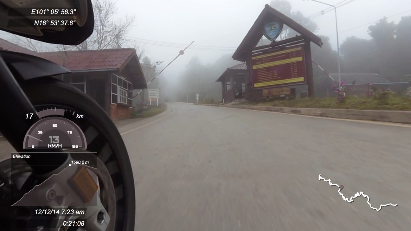
Highway 2331 runs into Phu Rin Rong Kla national park which is a little northwest of Lom Sak or southeast of Dan Sai. On the climb up there are some great views to be had as well as a load of good options to stay or camp. At around 21 minutes into the video is the park entrance. There was no charge but there might be at other times of the year. Once in the park the road is unsealed but is in the process of being resurfaced.
As can be seen from the elevation graph this is a steep climb and if sunny at the start you can be in the clouds in the short time and the temperature drops right off.
Once in the park you can view the continuation of this video here.
Park entrance:

Map of the route:


Ride carefully and always within your ability. The video shows speed (it is not completely accurate and has some inconsistencies), elevation graph, longitude and latitude, time and date, distance along the route and a squiggly line representing the road with a dot showing the current location. This video was shot in December 2014 and roads in Thailand do change over the years, a once pristine section of tarmac can degrade and likewise a bad section can be resurfaced and become as smooth as silk!
Leave a comment if you have an up to date report.
You can find excellent bike reports and information of northland Thailand over at Golden Triangle Riders

1 comment